🎉 Up to 70% Off Selected ItemsShop Sale
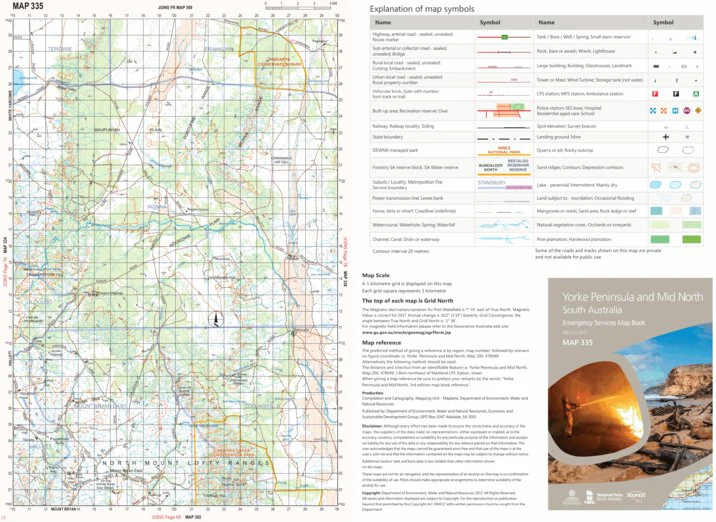
Yorke Peninsula and Mid North Map 335
The Emergency Services Map Book Yorke Peninsula and Mid North Map 335 - 1:100,000
https://www.environment.sa.gov.au/topics/science/mapland
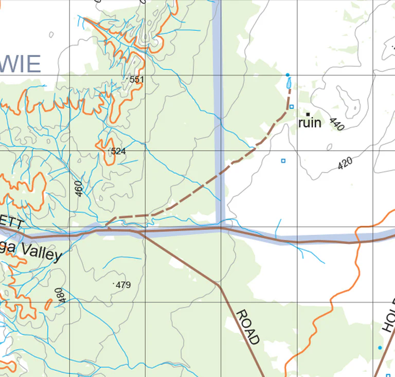
The Emergency Services Map Book series is produced to support emergency services operations, as well as providing useful information for travelers. The series provides detailed information about each of the regions including topography, roads and tracks, buildings and many other features in the landscape. A standard consistent topographic map base is generated from databases maintained by the department and other state government agencies. The Emergency Services Map Book series was formerly known as the CFS Map Book series.
Yorke Peninsula and Mid North Emergency Services Map Book - 3rd Edition
• Mapping scales 1:100,000
• Town enlargement Maps (1:20,000)
• Suburb and locality index
• Rural property address numbers
• DEW Park boundaries
• Gates and gate numbers
Find out more South Australia at www.environment.sa.gov.au/topics/Science/mapland
Maps are created from topographic data from Department for Environment and Water the authoritative South Australian Government data custodian.
Product Information
Product Information
Shipping & Returns
Shipping & Returns

Yorke Peninsula and Mid North Map 335
Yorke Peninsula and Mid North Map 335
The Emergency Services Map Book Yorke Peninsula and Mid North Map 335 - 1:100,000
https://www.environment.sa.gov.au/topics/science/mapland
The Emergency Services Map Book series is produced to support emergency services operations, as well as providing useful information for travelers. The series provides detailed information about each of the regions including topography, roads and tracks, buildings and many other features in the landscape. A standard consistent topographic map base is generated from databases maintained by the department and other state government agencies. The Emergency Services Map Book series was formerly known as the CFS Map Book series.
Yorke Peninsula and Mid North Emergency Services Map Book - 3rd Edition
• Mapping scales 1:100,000
• Town enlargement Maps (1:20,000)
• Suburb and locality index
• Rural property address numbers
• DEW Park boundaries
• Gates and gate numbers
Find out more South Australia at www.environment.sa.gov.au/topics/Science/mapland
Maps are created from topographic data from Department for Environment and Water the authoritative South Australian Government data custodian.
$0.70
Original: $1.99
-65%Yorke Peninsula and Mid North Map 335—
$1.99
$0.70Product Information
Product Information
Shipping & Returns
Shipping & Returns
Description
The Emergency Services Map Book Yorke Peninsula and Mid North Map 335 - 1:100,000
https://www.environment.sa.gov.au/topics/science/mapland
The Emergency Services Map Book series is produced to support emergency services operations, as well as providing useful information for travelers. The series provides detailed information about each of the regions including topography, roads and tracks, buildings and many other features in the landscape. A standard consistent topographic map base is generated from databases maintained by the department and other state government agencies. The Emergency Services Map Book series was formerly known as the CFS Map Book series.
Yorke Peninsula and Mid North Emergency Services Map Book - 3rd Edition
• Mapping scales 1:100,000
• Town enlargement Maps (1:20,000)
• Suburb and locality index
• Rural property address numbers
• DEW Park boundaries
• Gates and gate numbers
Find out more South Australia at www.environment.sa.gov.au/topics/Science/mapland
Maps are created from topographic data from Department for Environment and Water the authoritative South Australian Government data custodian.