🎉 Up to 70% Off Selected ItemsShop Sale
Oregon SXS Trails Millican Valley OHV
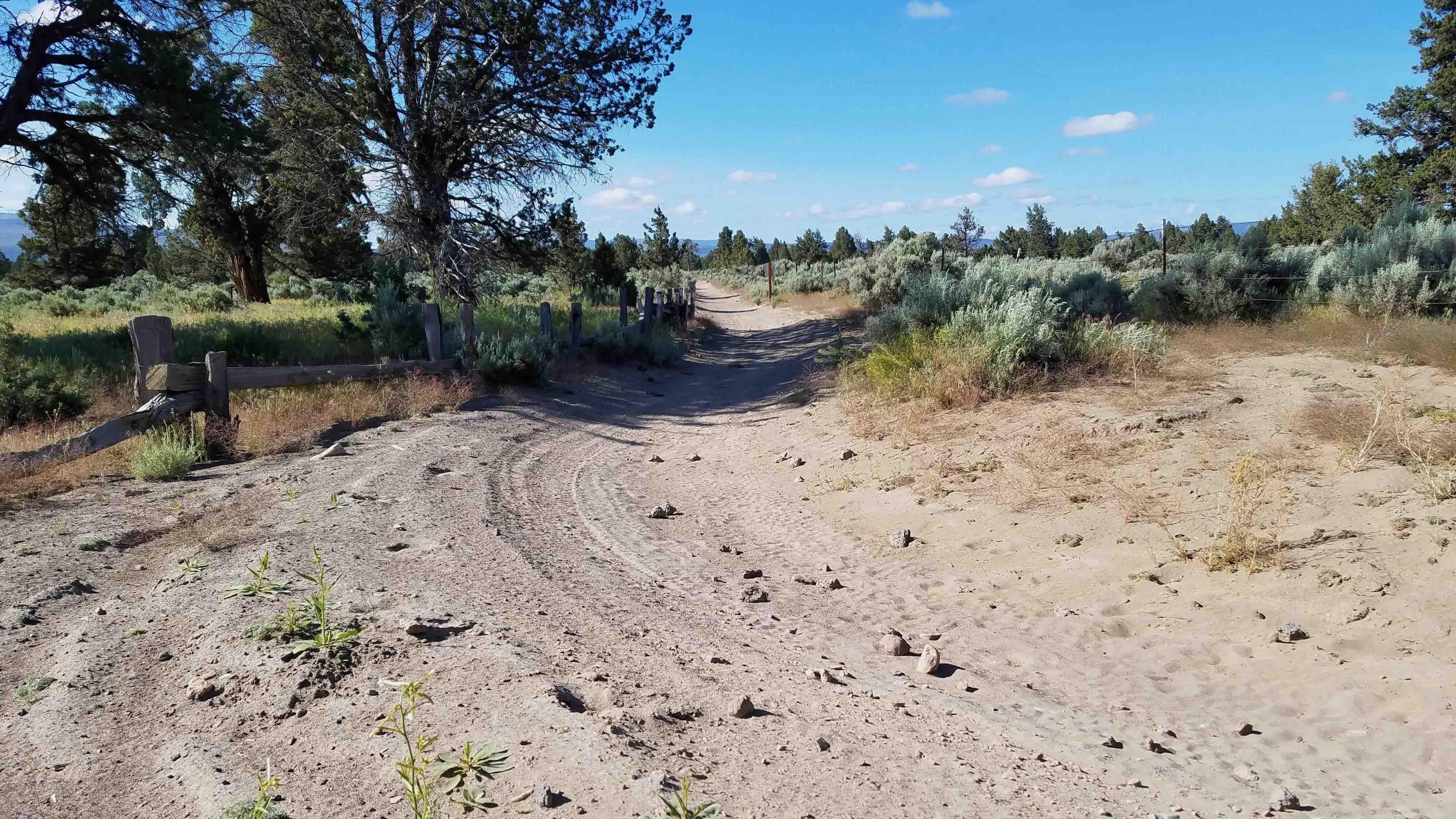
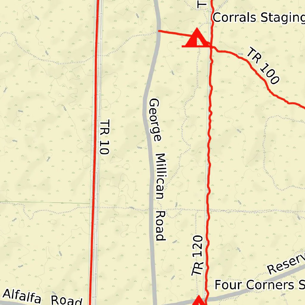
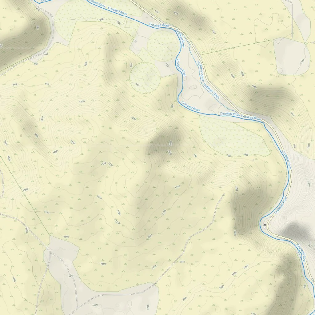
70+ miles of loop trails and spurs trails. This is a map of the available trails for SxS riding with in the BLM Millican Valley OVH Area year around. The Millican Valley is high desert with sage brush, juniper trees, sandy soil and large lave outcroppings.The SxS trails are shown as red routs and are numbered according the BLM map for the area.. There are two staging or camping areas, the Corrals Campground is the most protected with large juniper trees and a spring. The OHV area has many class l and lll trails which are shown as black dotted lines and are off limits to SxS. Note; this area is BLM open cattle range, leave all gates as you found then.
This map is presented for public use as-is, with no guarantee of accuracy or completeness. The geographic information contained on this map is not to be construed or used as a "true description”, conditions are ever changing do to weather, changes in and maintenance of roads and trails and government regulations. Always check with the local authorities before proceeding. Every effort has been made to ensure the map accuracy, but errors in mapping or errors in the source documents do occur. Bronco5Group, llc and/or Oregon SxS Trail Coalition assumes no liability for either any errors, omissions, or inaccuracies in the information provided regardless of their cause, or for any decision made, action taken, or action not taken by the user in reliance upon any maps or information provided. These maps are for information purposes only and may not represent actual conditions.
Product Information
Product Information
Shipping & Returns
Shipping & Returns
Oregon SXS Trails Millican Valley OHV
Oregon SXS Trails Millican Valley OHV
70+ miles of loop trails and spurs trails. This is a map of the available trails for SxS riding with in the BLM Millican Valley OVH Area year around. The Millican Valley is high desert with sage brush, juniper trees, sandy soil and large lave outcroppings.The SxS trails are shown as red routs and are numbered according the BLM map for the area.. There are two staging or camping areas, the Corrals Campground is the most protected with large juniper trees and a spring. The OHV area has many class l and lll trails which are shown as black dotted lines and are off limits to SxS. Note; this area is BLM open cattle range, leave all gates as you found then.
This map is presented for public use as-is, with no guarantee of accuracy or completeness. The geographic information contained on this map is not to be construed or used as a "true description”, conditions are ever changing do to weather, changes in and maintenance of roads and trails and government regulations. Always check with the local authorities before proceeding. Every effort has been made to ensure the map accuracy, but errors in mapping or errors in the source documents do occur. Bronco5Group, llc and/or Oregon SxS Trail Coalition assumes no liability for either any errors, omissions, or inaccuracies in the information provided regardless of their cause, or for any decision made, action taken, or action not taken by the user in reliance upon any maps or information provided. These maps are for information purposes only and may not represent actual conditions.
$1.75
Original: $4.99
-65%Oregon SXS Trails Millican Valley OHV—
$4.99
$1.75Product Information
Product Information
Shipping & Returns
Shipping & Returns
Description
70+ miles of loop trails and spurs trails. This is a map of the available trails for SxS riding with in the BLM Millican Valley OVH Area year around. The Millican Valley is high desert with sage brush, juniper trees, sandy soil and large lave outcroppings.The SxS trails are shown as red routs and are numbered according the BLM map for the area.. There are two staging or camping areas, the Corrals Campground is the most protected with large juniper trees and a spring. The OHV area has many class l and lll trails which are shown as black dotted lines and are off limits to SxS. Note; this area is BLM open cattle range, leave all gates as you found then.
This map is presented for public use as-is, with no guarantee of accuracy or completeness. The geographic information contained on this map is not to be construed or used as a "true description”, conditions are ever changing do to weather, changes in and maintenance of roads and trails and government regulations. Always check with the local authorities before proceeding. Every effort has been made to ensure the map accuracy, but errors in mapping or errors in the source documents do occur. Bronco5Group, llc and/or Oregon SxS Trail Coalition assumes no liability for either any errors, omissions, or inaccuracies in the information provided regardless of their cause, or for any decision made, action taken, or action not taken by the user in reliance upon any maps or information provided. These maps are for information purposes only and may not represent actual conditions.