🎉 Up to 70% Off Selected ItemsShop Sale
James River: Seven Mile Reach to Richmond
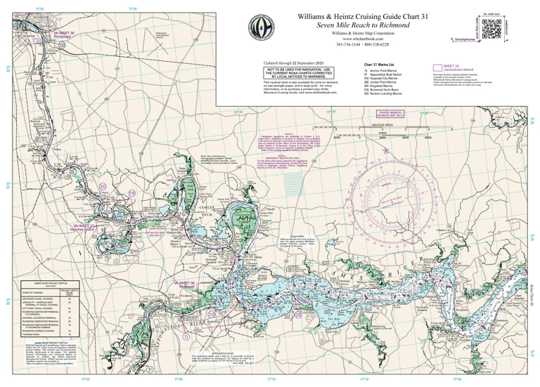
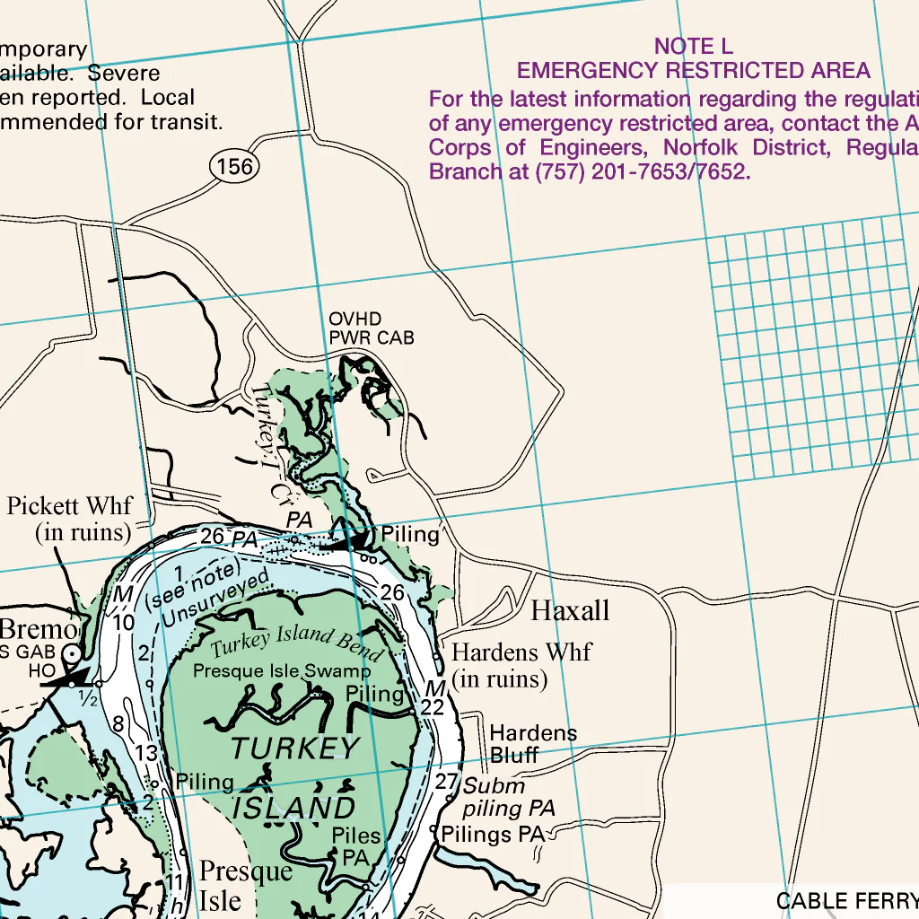
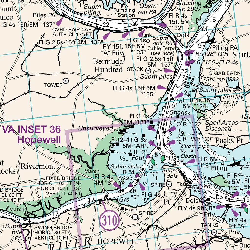
This nautical chart of the Chesapeake Bay is a digital version of Chart 31, Seven Mile Reach to Richmond, from the Virginia Cruising Guide published by the Williams & Heintz Map Corporation. This chart is also available for print on demand. For more information or to purchase a printed copy of the Virginia Cruising Guide, visit http://www.whchartbook.com/ or http://whmap.com.
This chart was compiled at a scale of 1:80,000 and has been updated with NOAA's Navigation Updates through September 22, 2025.
Product Information
Product Information
Shipping & Returns
Shipping & Returns
James River: Seven Mile Reach to Richmond
James River: Seven Mile Reach to Richmond
This nautical chart of the Chesapeake Bay is a digital version of Chart 31, Seven Mile Reach to Richmond, from the Virginia Cruising Guide published by the Williams & Heintz Map Corporation. This chart is also available for print on demand. For more information or to purchase a printed copy of the Virginia Cruising Guide, visit http://www.whchartbook.com/ or http://whmap.com.
This chart was compiled at a scale of 1:80,000 and has been updated with NOAA's Navigation Updates through September 22, 2025.
$4.99
James River: Seven Mile Reach to Richmond—
$4.99
Product Information
Product Information
Shipping & Returns
Shipping & Returns
Description
This nautical chart of the Chesapeake Bay is a digital version of Chart 31, Seven Mile Reach to Richmond, from the Virginia Cruising Guide published by the Williams & Heintz Map Corporation. This chart is also available for print on demand. For more information or to purchase a printed copy of the Virginia Cruising Guide, visit http://www.whchartbook.com/ or http://whmap.com.
This chart was compiled at a scale of 1:80,000 and has been updated with NOAA's Navigation Updates through September 22, 2025.