🎉 Up to 70% Off Selected ItemsShop Sale
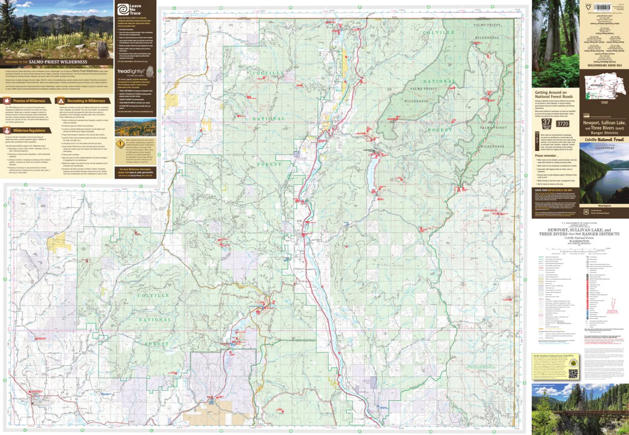
Newport-Sullivan Lake Ranger District Map South
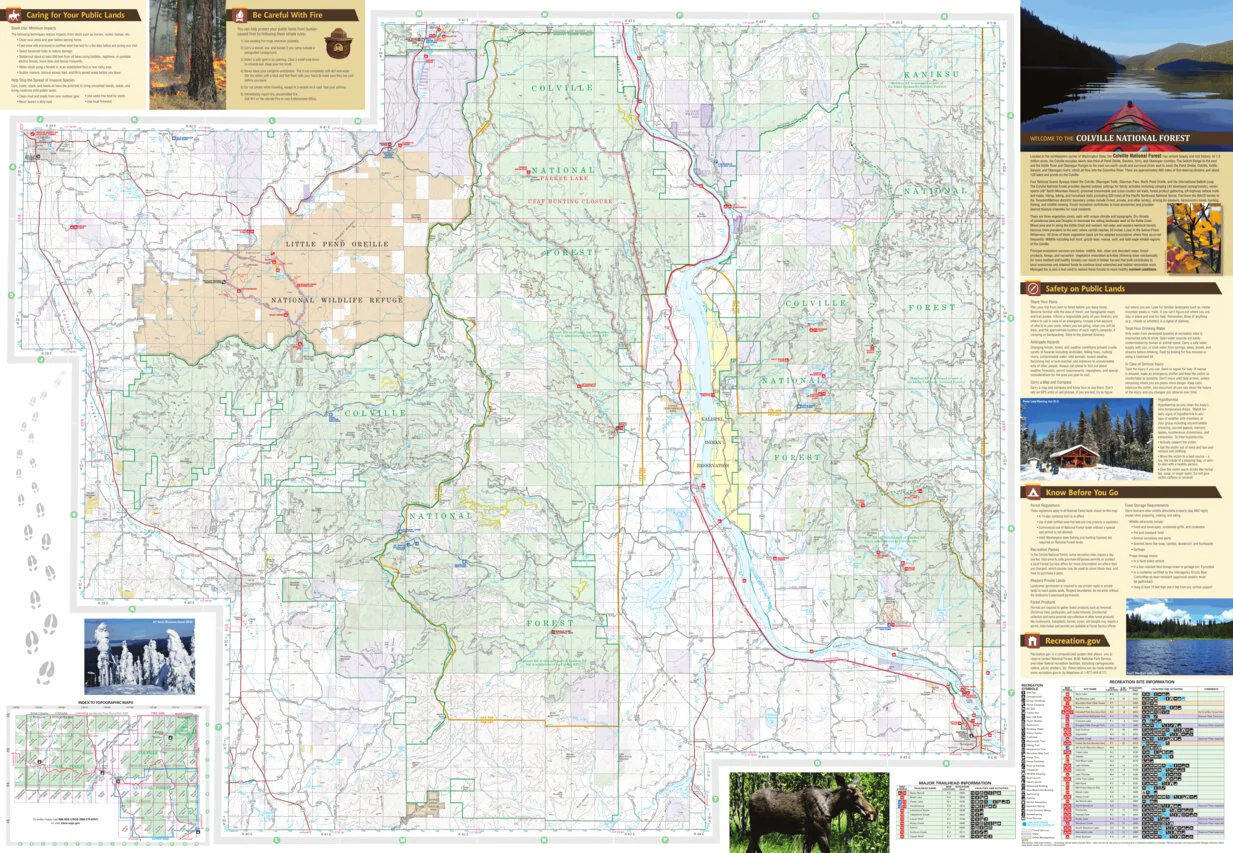
There are two sides to the printed version of this map. The other side is also available in the Avenza Map Store.
For more information or to purchase this map in hard copy, contact one of the offices listed on the back cover of the map, or go to https://store.usgs.gov/maps
For more information on how to prepare for and enjoy a safe and rewarding visit on Forest Service lands, please visit www.fs.fed.us/recreation/safety
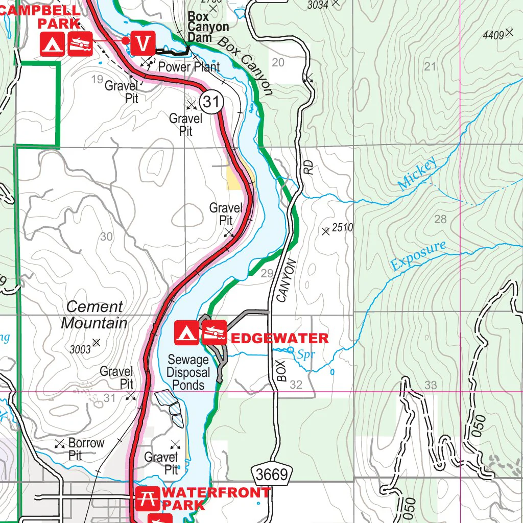
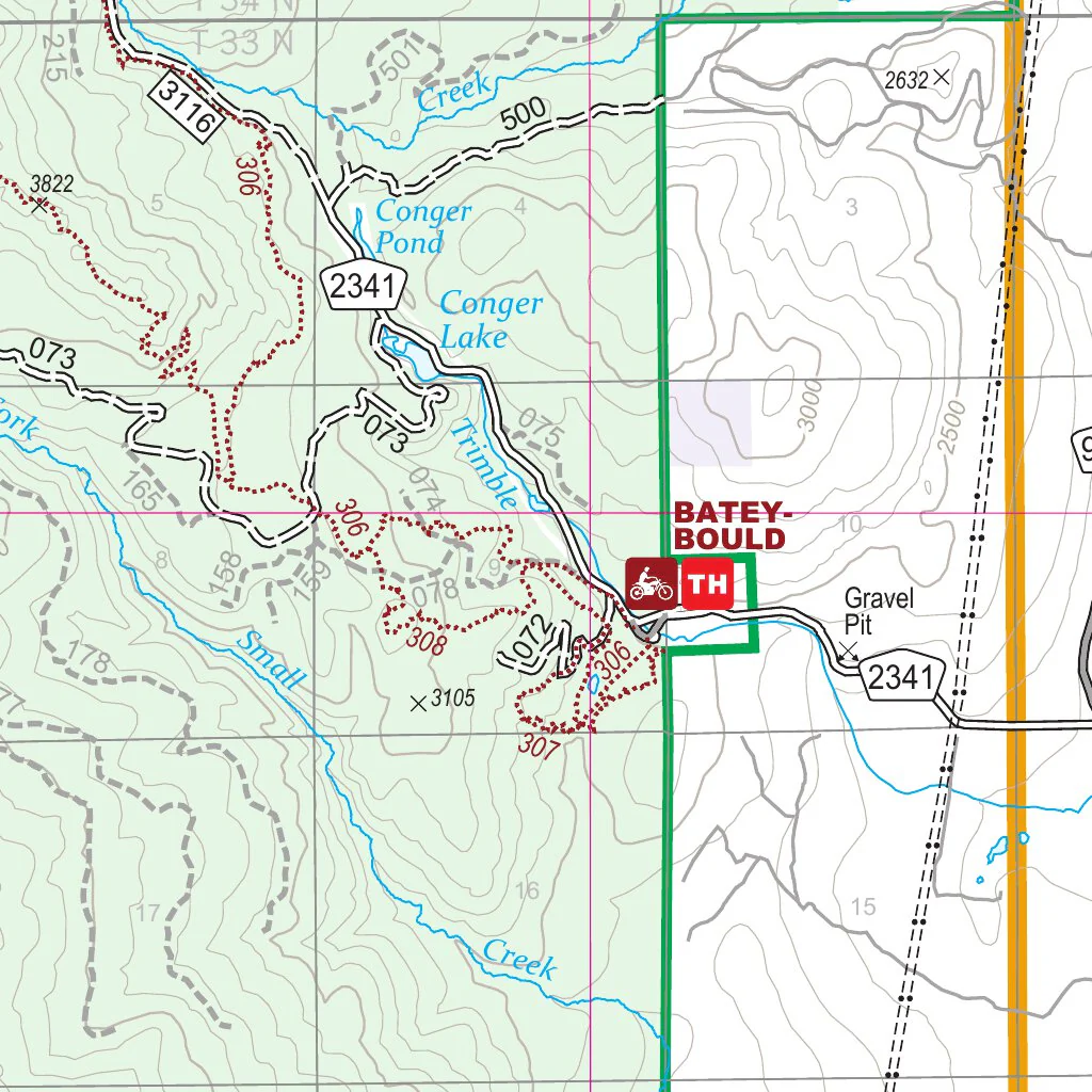
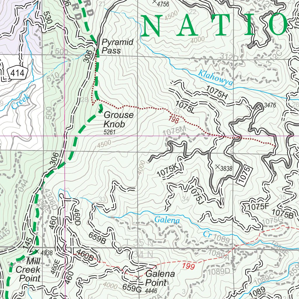
Forest Service Ranger District Maps provide information on recreational uses, trails, roads, streams, lakes, landforms, land administration, visitor centers, facilities, campgrounds, picnic areas, and other cultural features. They also display topographic information such as contours and elevations, and administrative roads which are not open for motorized travel. Ranger District Maps are mapped at a scale of 1 inch per mile (1:63,360).
This map is a companion map to the Forest Motor Vehicle Use Map (MVUM). An MVUM is a legal enforceable document that identifies the roads, trails, and areas where motor vehicle use is allowed in a Forest Service administrative unit or ranger district. MVUMs are reissued each year. It is the responsibility of the motor vehicle user to acquire the current MVUM. The MVUMs display National Forest System (NFS) routes (roads and trails) designated as open to motorized travel. The MVUMs also display allowed uses by vehicle class (ex. highway-legal vehicles, vehicles 50 inches in width or less and motorcycles); seasonal allowances, off travel distance allowances, and provides information on other travel rules and regulations. Visitors should not rely on any other maps for making decisions about motorized travel. A current printed copy of the Forest MVUM is available FREE from local Forest Service offices, and the current downloadable copy is available FREE from www.fs.fed.us/recreation/programs/ohv/ohv_maps.shtml
USDA Forest Service is an equal opportunity provider, employer and lender.
2022 USDA Forest Service, Pacific Northwest Region, Data Resources Management
www.fs.usda.gov/colville
Product Information
Product Information
Shipping & Returns
Shipping & Returns
Newport-Sullivan Lake Ranger District Map South
Newport-Sullivan Lake Ranger District Map South
There are two sides to the printed version of this map. The other side is also available in the Avenza Map Store.
For more information or to purchase this map in hard copy, contact one of the offices listed on the back cover of the map, or go to https://store.usgs.gov/maps
For more information on how to prepare for and enjoy a safe and rewarding visit on Forest Service lands, please visit www.fs.fed.us/recreation/safety
Forest Service Ranger District Maps provide information on recreational uses, trails, roads, streams, lakes, landforms, land administration, visitor centers, facilities, campgrounds, picnic areas, and other cultural features. They also display topographic information such as contours and elevations, and administrative roads which are not open for motorized travel. Ranger District Maps are mapped at a scale of 1 inch per mile (1:63,360).
This map is a companion map to the Forest Motor Vehicle Use Map (MVUM). An MVUM is a legal enforceable document that identifies the roads, trails, and areas where motor vehicle use is allowed in a Forest Service administrative unit or ranger district. MVUMs are reissued each year. It is the responsibility of the motor vehicle user to acquire the current MVUM. The MVUMs display National Forest System (NFS) routes (roads and trails) designated as open to motorized travel. The MVUMs also display allowed uses by vehicle class (ex. highway-legal vehicles, vehicles 50 inches in width or less and motorcycles); seasonal allowances, off travel distance allowances, and provides information on other travel rules and regulations. Visitors should not rely on any other maps for making decisions about motorized travel. A current printed copy of the Forest MVUM is available FREE from local Forest Service offices, and the current downloadable copy is available FREE from www.fs.fed.us/recreation/programs/ohv/ohv_maps.shtml
USDA Forest Service is an equal opportunity provider, employer and lender.
2022 USDA Forest Service, Pacific Northwest Region, Data Resources Management
www.fs.usda.gov/colville
$4.99
Newport-Sullivan Lake Ranger District Map South—
$4.99
Product Information
Product Information
Shipping & Returns
Shipping & Returns
Description
There are two sides to the printed version of this map. The other side is also available in the Avenza Map Store.
For more information or to purchase this map in hard copy, contact one of the offices listed on the back cover of the map, or go to https://store.usgs.gov/maps
For more information on how to prepare for and enjoy a safe and rewarding visit on Forest Service lands, please visit www.fs.fed.us/recreation/safety
Forest Service Ranger District Maps provide information on recreational uses, trails, roads, streams, lakes, landforms, land administration, visitor centers, facilities, campgrounds, picnic areas, and other cultural features. They also display topographic information such as contours and elevations, and administrative roads which are not open for motorized travel. Ranger District Maps are mapped at a scale of 1 inch per mile (1:63,360).
This map is a companion map to the Forest Motor Vehicle Use Map (MVUM). An MVUM is a legal enforceable document that identifies the roads, trails, and areas where motor vehicle use is allowed in a Forest Service administrative unit or ranger district. MVUMs are reissued each year. It is the responsibility of the motor vehicle user to acquire the current MVUM. The MVUMs display National Forest System (NFS) routes (roads and trails) designated as open to motorized travel. The MVUMs also display allowed uses by vehicle class (ex. highway-legal vehicles, vehicles 50 inches in width or less and motorcycles); seasonal allowances, off travel distance allowances, and provides information on other travel rules and regulations. Visitors should not rely on any other maps for making decisions about motorized travel. A current printed copy of the Forest MVUM is available FREE from local Forest Service offices, and the current downloadable copy is available FREE from www.fs.fed.us/recreation/programs/ohv/ohv_maps.shtml
USDA Forest Service is an equal opportunity provider, employer and lender.
2022 USDA Forest Service, Pacific Northwest Region, Data Resources Management
www.fs.usda.gov/colville