🎉 Up to 70% Off Selected ItemsShop Sale
Pikes Peak, CO Exploration Map for Sightseeing
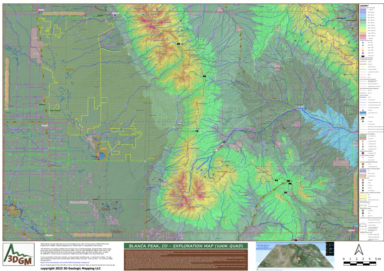
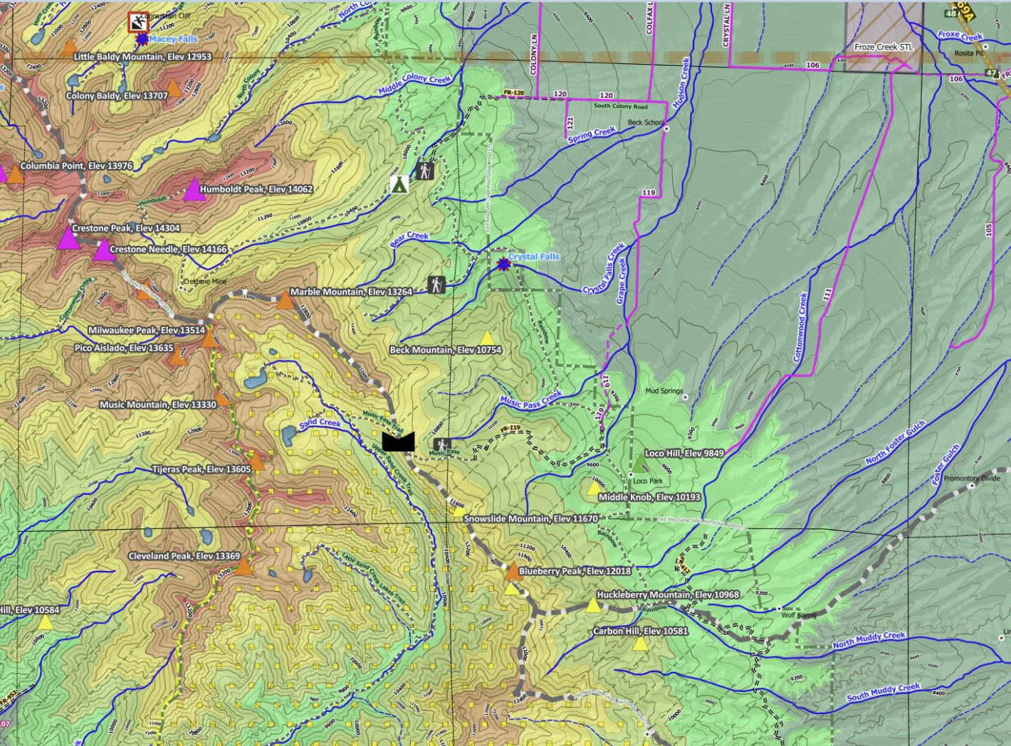
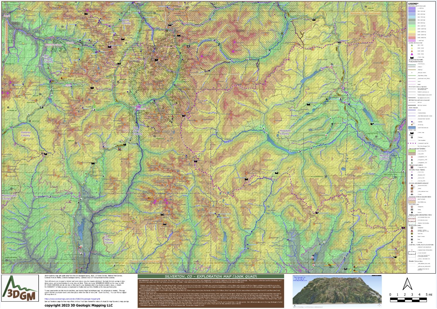
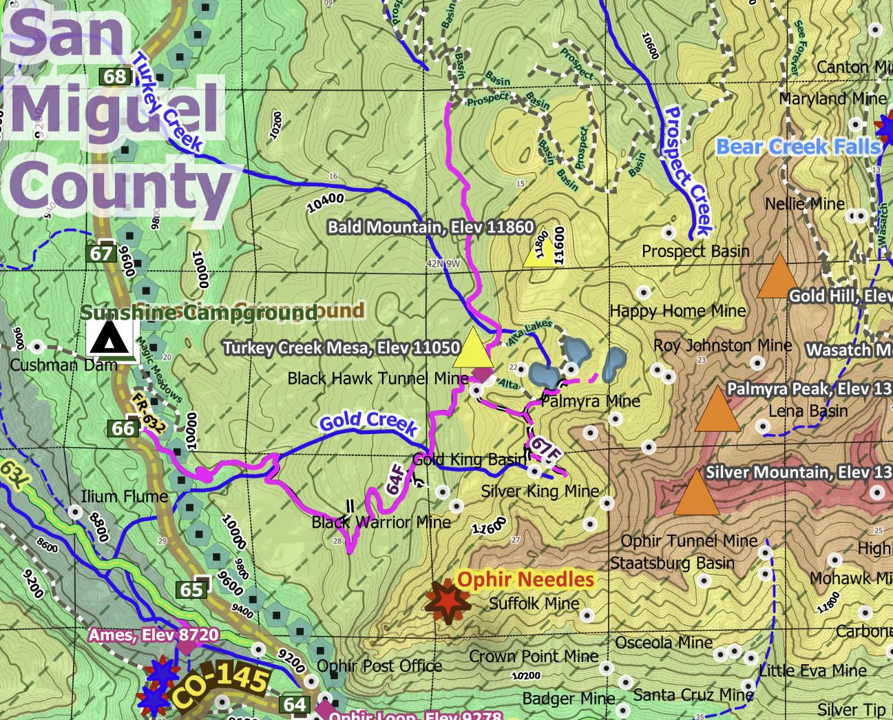
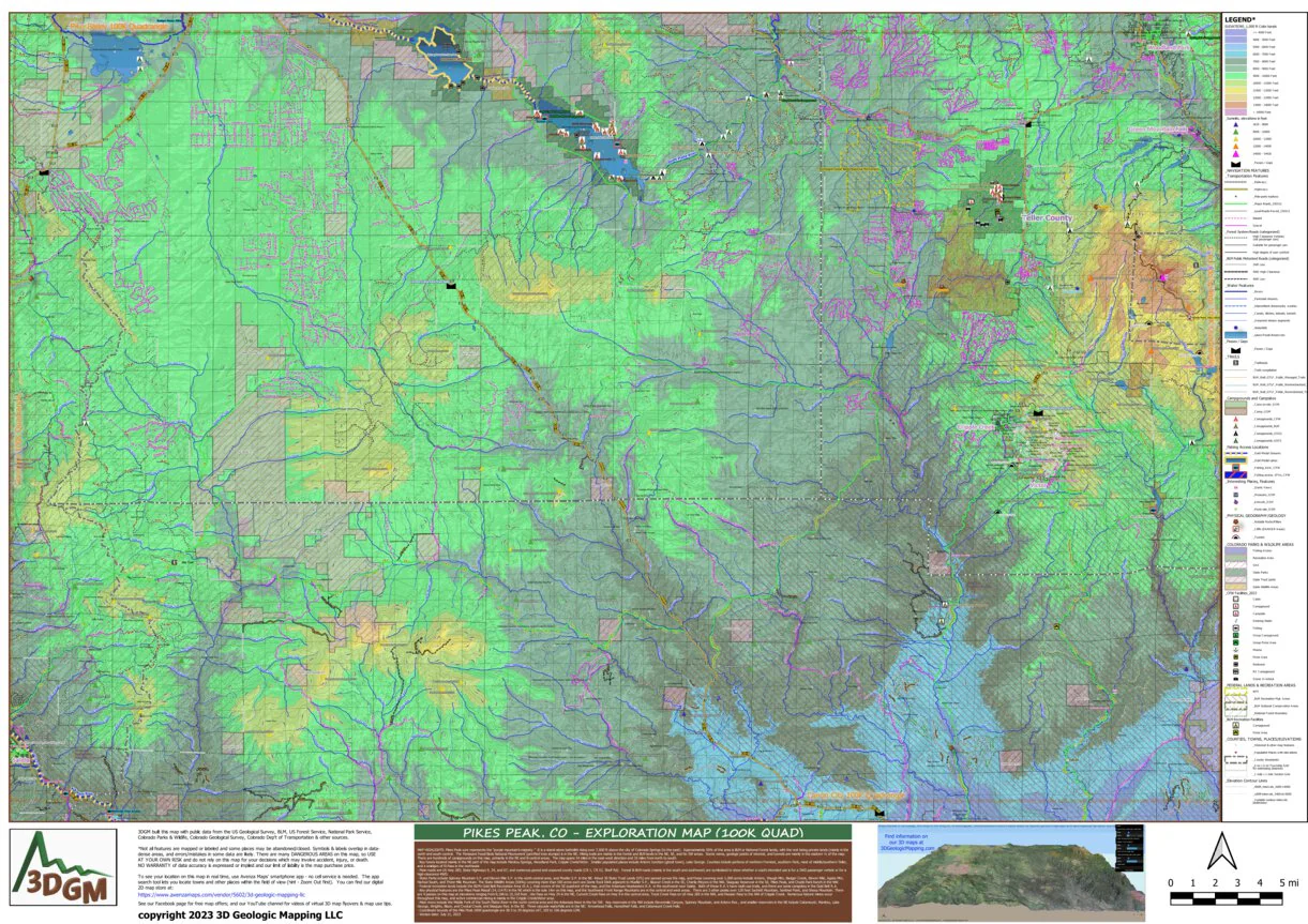
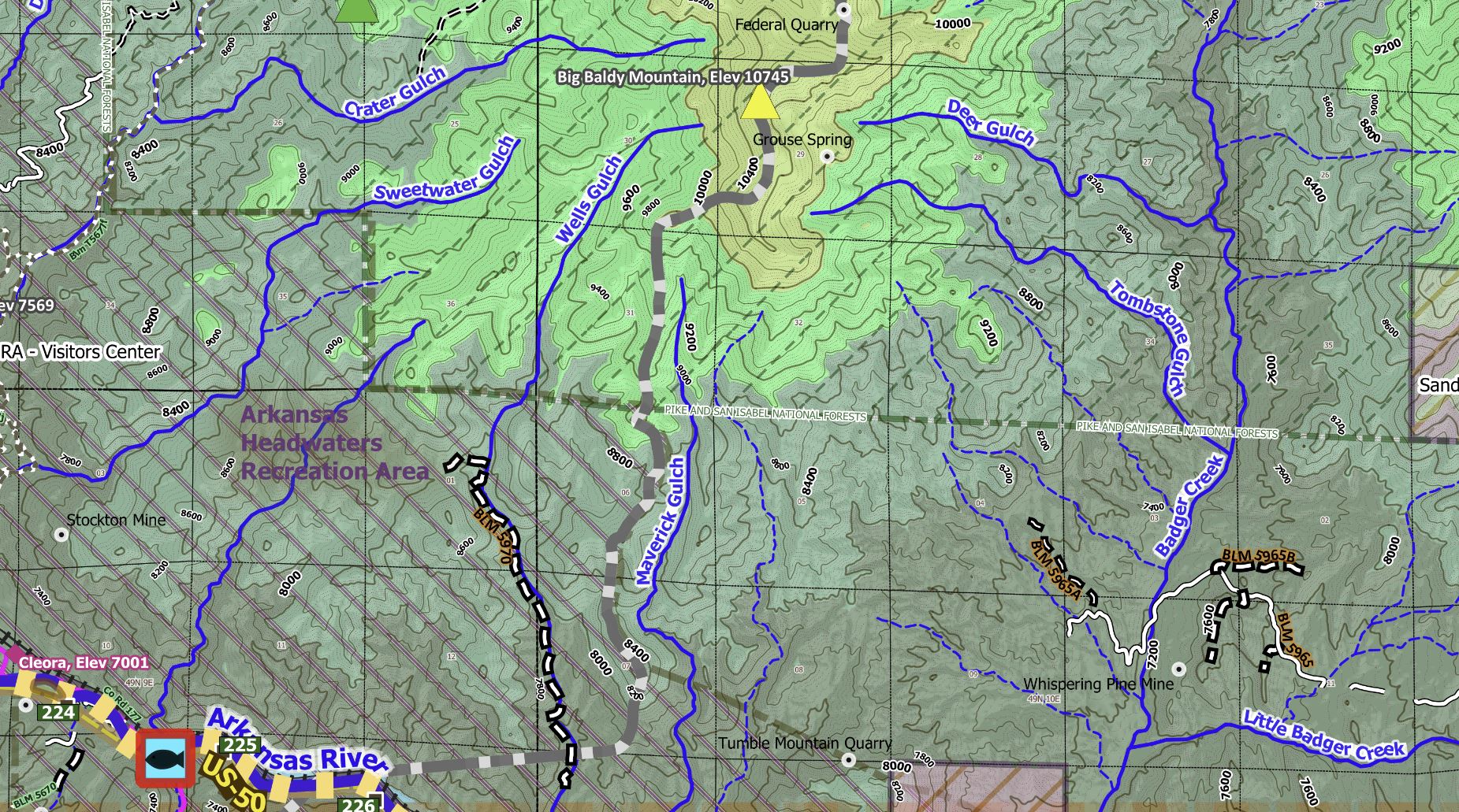
MAP HIGHLIGHTS: This Pikes Peak 100K map extends from Woodland Park to Salida. Pikes Peak is the magnificent mountain in the area and it sure represents the “purple mountain’s majesty.” The peak is a stand-alone granitic batholith rising over 7,000 ft above the city of Colorado Springs (to the east). Approximately 50% of the area is BLM or National Forest lands, with the rest being private lands (mainly in the north and south-central). The Florissant Fossil Beds National Monument (petrified tree stumps) is in the NE. Hiking trails are mainly in the forest and BLM lands in the NE, SE, and far SW areas. Scenic views, geologic points of interest, and tunnels are mainly in the eastern ¼ of the map. There are hundreds of campgrounds located primarily in the NE and N-central areas. The map spans 54 miles in the east-west direction and 35 miles from north to south. Coordinate bounds of the Pikes Peak 100K quadrangle are 38.5 to 39 degrees LAT, 105 to 106 degrees LON.
- Key towns located mainly in the NE part of the map include Manitou Springs, Woodland Park, and Cripple Creek/Victor. Smaller populated places include Antero Junction (ghost town), Lake George. Counties include portions of northern Fremont, southern Park, most of middle/southern Teller, and a smidgen of El Paso in the northeast.
- Main roads are US Hwy 285; State Highways 9, 24, and 67; and numerous paved and unpaved county roads (CR 1, CR 53, Shelf Rd). Forest & BLM roads (mainly in the south and southwest) are symbolized to show whether a road's intended use is for a 2WD passenger vehicle or for a high-clearance 4WD.
- State Parks include Spinney Mountain S.P. and Eleven Mile S.P. in the north-central area, and Mueller S.P. in the NE. About 30 State Trust Lands (STL) are spread across the map, and those covering over 1,000 acres include Antero, Waugh Mtn, Badger Creek, Eleven Mile, Agate Mtn, Hartsel South, and Three Mile Mountain. The State Wildlife Areas (SWAs) covering more than 500 acres each are Dome Rock SWA adjacent to Mueller S.P., Beaver Creek in the SE, Charlie Meyers in the NW, Skaguay Reservoir in the SE, Pikes Peak, and Chubb Park Ranch in the NW.
- Federal recreation lands include the BLM’s Gold Belt Recreation Area (R.A.), that covers of the SE quadrant of the map, and the Arkansas Headwaters R.A. in the southwest near Salida. Both of these R.A.’s have multi-use trails, and there are some campsites in the Gold Belt R.A.
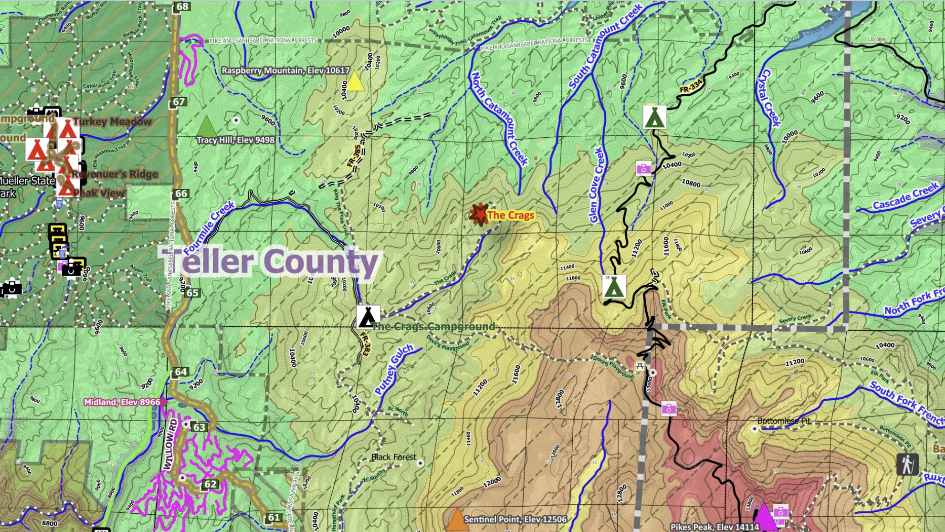
- Key physical features are the Pikes Peak Massif (14,114 ft) in the NE which is the sole 14er on this map, and the Southwest Front Range Mountains are in the central and west areas. There are 3 other peaks over 12K feet Sachett Mountain, Sentinel Point, and Sheep Mountain. There are 4 passes on this map at elevations ranging from 9,186 to 10,318 feet: Ute Pass on Hwy 24 in the NE, Currant Creek Pass on Hwy 9 in the central area, Trout Creek Pass on US Hwy 285 in the NW, and Hoosier Pass to the NW of Cripple Creek. Numerous historic mines occur throughout this map, and active commercial mining is mainly in the Cripple Creek/Victor area.
- Main rivers include the Middle Fork of the South Platte River in the north-central area and the Arkansas River in the far SW. Key reservoirs in the NW include Elevenmile Canyon, Spinney Mountain, and Antero Res., and smaller reservoirs in the NE include Catamount, Manitou, Lake George, Wrights, Bison, and Crystal Creek; and Skaguay Res. in the SE. Three cascade waterfalls are in the NE: Arrowhead Falls, Horsethief Falls, and Catamount Creek Falls.
Map features includes: forest & BLM roads, trails, trailheads, campsites/campgrounds, fishing areas, scenic views, State Parks/other State lands, BLM recreation areas, National Forests, passes/gaps, a 14ers and numerous other peaks above 10,000 ft, place names/elevations, rivers/lakes/streams, waterfalls, interesting geologic features (notable rocks/pillars, cliffs, tunnels), color-coded elevation ranges, interstates/highways with mile markers, main/secondary/local roads, a museum, and notable amenities on public lands (picnic areas, restrooms).
The Avenza Maps smartphone app lets you see your location as you move around in the map area, set a location pin to find your way back to your car or campsite, track your path in real-time, and more!
Product Information
Product Information
Shipping & Returns
Shipping & Returns
Pikes Peak, CO Exploration Map for Sightseeing
Pikes Peak, CO Exploration Map for Sightseeing
MAP HIGHLIGHTS: This Pikes Peak 100K map extends from Woodland Park to Salida. Pikes Peak is the magnificent mountain in the area and it sure represents the “purple mountain’s majesty.” The peak is a stand-alone granitic batholith rising over 7,000 ft above the city of Colorado Springs (to the east). Approximately 50% of the area is BLM or National Forest lands, with the rest being private lands (mainly in the north and south-central). The Florissant Fossil Beds National Monument (petrified tree stumps) is in the NE. Hiking trails are mainly in the forest and BLM lands in the NE, SE, and far SW areas. Scenic views, geologic points of interest, and tunnels are mainly in the eastern ¼ of the map. There are hundreds of campgrounds located primarily in the NE and N-central areas. The map spans 54 miles in the east-west direction and 35 miles from north to south. Coordinate bounds of the Pikes Peak 100K quadrangle are 38.5 to 39 degrees LAT, 105 to 106 degrees LON.
- Key towns located mainly in the NE part of the map include Manitou Springs, Woodland Park, and Cripple Creek/Victor. Smaller populated places include Antero Junction (ghost town), Lake George. Counties include portions of northern Fremont, southern Park, most of middle/southern Teller, and a smidgen of El Paso in the northeast.
- Main roads are US Hwy 285; State Highways 9, 24, and 67; and numerous paved and unpaved county roads (CR 1, CR 53, Shelf Rd). Forest & BLM roads (mainly in the south and southwest) are symbolized to show whether a road's intended use is for a 2WD passenger vehicle or for a high-clearance 4WD.
- State Parks include Spinney Mountain S.P. and Eleven Mile S.P. in the north-central area, and Mueller S.P. in the NE. About 30 State Trust Lands (STL) are spread across the map, and those covering over 1,000 acres include Antero, Waugh Mtn, Badger Creek, Eleven Mile, Agate Mtn, Hartsel South, and Three Mile Mountain. The State Wildlife Areas (SWAs) covering more than 500 acres each are Dome Rock SWA adjacent to Mueller S.P., Beaver Creek in the SE, Charlie Meyers in the NW, Skaguay Reservoir in the SE, Pikes Peak, and Chubb Park Ranch in the NW.
- Federal recreation lands include the BLM’s Gold Belt Recreation Area (R.A.), that covers of the SE quadrant of the map, and the Arkansas Headwaters R.A. in the southwest near Salida. Both of these R.A.’s have multi-use trails, and there are some campsites in the Gold Belt R.A.
- Key physical features are the Pikes Peak Massif (14,114 ft) in the NE which is the sole 14er on this map, and the Southwest Front Range Mountains are in the central and west areas. There are 3 other peaks over 12K feet Sachett Mountain, Sentinel Point, and Sheep Mountain. There are 4 passes on this map at elevations ranging from 9,186 to 10,318 feet: Ute Pass on Hwy 24 in the NE, Currant Creek Pass on Hwy 9 in the central area, Trout Creek Pass on US Hwy 285 in the NW, and Hoosier Pass to the NW of Cripple Creek. Numerous historic mines occur throughout this map, and active commercial mining is mainly in the Cripple Creek/Victor area.
- Main rivers include the Middle Fork of the South Platte River in the north-central area and the Arkansas River in the far SW. Key reservoirs in the NW include Elevenmile Canyon, Spinney Mountain, and Antero Res., and smaller reservoirs in the NE include Catamount, Manitou, Lake George, Wrights, Bison, and Crystal Creek; and Skaguay Res. in the SE. Three cascade waterfalls are in the NE: Arrowhead Falls, Horsethief Falls, and Catamount Creek Falls.
Map features includes: forest & BLM roads, trails, trailheads, campsites/campgrounds, fishing areas, scenic views, State Parks/other State lands, BLM recreation areas, National Forests, passes/gaps, a 14ers and numerous other peaks above 10,000 ft, place names/elevations, rivers/lakes/streams, waterfalls, interesting geologic features (notable rocks/pillars, cliffs, tunnels), color-coded elevation ranges, interstates/highways with mile markers, main/secondary/local roads, a museum, and notable amenities on public lands (picnic areas, restrooms).
The Avenza Maps smartphone app lets you see your location as you move around in the map area, set a location pin to find your way back to your car or campsite, track your path in real-time, and more!
$4.99
Pikes Peak, CO Exploration Map for Sightseeing—
$4.99
Product Information
Product Information
Shipping & Returns
Shipping & Returns
Description
MAP HIGHLIGHTS: This Pikes Peak 100K map extends from Woodland Park to Salida. Pikes Peak is the magnificent mountain in the area and it sure represents the “purple mountain’s majesty.” The peak is a stand-alone granitic batholith rising over 7,000 ft above the city of Colorado Springs (to the east). Approximately 50% of the area is BLM or National Forest lands, with the rest being private lands (mainly in the north and south-central). The Florissant Fossil Beds National Monument (petrified tree stumps) is in the NE. Hiking trails are mainly in the forest and BLM lands in the NE, SE, and far SW areas. Scenic views, geologic points of interest, and tunnels are mainly in the eastern ¼ of the map. There are hundreds of campgrounds located primarily in the NE and N-central areas. The map spans 54 miles in the east-west direction and 35 miles from north to south. Coordinate bounds of the Pikes Peak 100K quadrangle are 38.5 to 39 degrees LAT, 105 to 106 degrees LON.
- Key towns located mainly in the NE part of the map include Manitou Springs, Woodland Park, and Cripple Creek/Victor. Smaller populated places include Antero Junction (ghost town), Lake George. Counties include portions of northern Fremont, southern Park, most of middle/southern Teller, and a smidgen of El Paso in the northeast.
- Main roads are US Hwy 285; State Highways 9, 24, and 67; and numerous paved and unpaved county roads (CR 1, CR 53, Shelf Rd). Forest & BLM roads (mainly in the south and southwest) are symbolized to show whether a road's intended use is for a 2WD passenger vehicle or for a high-clearance 4WD.
- State Parks include Spinney Mountain S.P. and Eleven Mile S.P. in the north-central area, and Mueller S.P. in the NE. About 30 State Trust Lands (STL) are spread across the map, and those covering over 1,000 acres include Antero, Waugh Mtn, Badger Creek, Eleven Mile, Agate Mtn, Hartsel South, and Three Mile Mountain. The State Wildlife Areas (SWAs) covering more than 500 acres each are Dome Rock SWA adjacent to Mueller S.P., Beaver Creek in the SE, Charlie Meyers in the NW, Skaguay Reservoir in the SE, Pikes Peak, and Chubb Park Ranch in the NW.
- Federal recreation lands include the BLM’s Gold Belt Recreation Area (R.A.), that covers of the SE quadrant of the map, and the Arkansas Headwaters R.A. in the southwest near Salida. Both of these R.A.’s have multi-use trails, and there are some campsites in the Gold Belt R.A.
- Key physical features are the Pikes Peak Massif (14,114 ft) in the NE which is the sole 14er on this map, and the Southwest Front Range Mountains are in the central and west areas. There are 3 other peaks over 12K feet Sachett Mountain, Sentinel Point, and Sheep Mountain. There are 4 passes on this map at elevations ranging from 9,186 to 10,318 feet: Ute Pass on Hwy 24 in the NE, Currant Creek Pass on Hwy 9 in the central area, Trout Creek Pass on US Hwy 285 in the NW, and Hoosier Pass to the NW of Cripple Creek. Numerous historic mines occur throughout this map, and active commercial mining is mainly in the Cripple Creek/Victor area.
- Main rivers include the Middle Fork of the South Platte River in the north-central area and the Arkansas River in the far SW. Key reservoirs in the NW include Elevenmile Canyon, Spinney Mountain, and Antero Res., and smaller reservoirs in the NE include Catamount, Manitou, Lake George, Wrights, Bison, and Crystal Creek; and Skaguay Res. in the SE. Three cascade waterfalls are in the NE: Arrowhead Falls, Horsethief Falls, and Catamount Creek Falls.
Map features includes: forest & BLM roads, trails, trailheads, campsites/campgrounds, fishing areas, scenic views, State Parks/other State lands, BLM recreation areas, National Forests, passes/gaps, a 14ers and numerous other peaks above 10,000 ft, place names/elevations, rivers/lakes/streams, waterfalls, interesting geologic features (notable rocks/pillars, cliffs, tunnels), color-coded elevation ranges, interstates/highways with mile markers, main/secondary/local roads, a museum, and notable amenities on public lands (picnic areas, restrooms).
The Avenza Maps smartphone app lets you see your location as you move around in the map area, set a location pin to find your way back to your car or campsite, track your path in real-time, and more!